Katja Hoffmann · 10 October 2026
County Archives Fuel New Biodiversity Models as Volunteers Digitize Centuries-Old Tree Listings
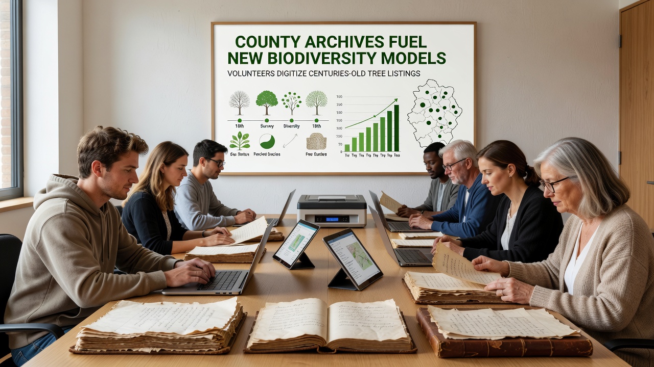
County archives across multiple regions hold detailed listings of tree species and distributions that date back several centuries, and volunteers have begun systematic digitization efforts to convert these paper records into usable digital formats for biodiversity research. Data from these archives shows patterns of tree populations that predate modern surveys, while researchers integrate the information into predictive models that account for climate shifts and habitat changes. Projects underway in 2026 continue this work, with a key progress update scheduled for October 2026 at regional heritage centers where teams will review completed datasets from the prior year.
Historical Records Provide Baseline Data
Archivists maintain ledgers and survey notes from the 1700s onward that record tree species, locations, and sometimes growth measurements in specific counties, and these entries often include local observations that complement official forestry reports. When volunteers scan and transcribe the documents, the resulting databases allow comparison with contemporary satellite imagery and field studies, which reveals shifts in species ranges over time. One dataset from a midwestern county archive, for example, lists oak and maple distributions from 1823 that align with current ecological mapping tools used by government agencies.
European Environment Agency reports indicate that long-term vegetation records improve accuracy in habitat suitability models, and similar findings appear in studies from Canadian forestry departments that draw on provincial archives. The digitization process requires careful handling of fragile materials alongside optical character recognition software to capture handwritten entries accurately, while quality control teams cross-check samples against original pages to minimize transcription errors.
Volunteer Networks Drive the Conversion Process
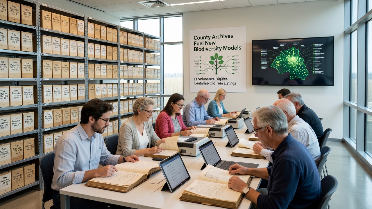
Local historical societies recruit volunteers from diverse backgrounds, including retirees with archival experience and students seeking practical skills in data management, and these groups meet regularly to process batches of records under supervision from trained coordinators. Training sessions cover paleography techniques for older scripts along with spreadsheet protocols that standardize entries for species names, dates, and geographic coordinates. Participation numbers reached several hundred across participating counties by early 2026, which accelerated the rate of record conversion compared with earlier pilot phases.
What's interesting is how community events combine digitization work with public education on regional ecology, and such gatherings often feature talks from university researchers who explain how the emerging datasets feed into broader biodiversity assessments. Equipment grants from regional libraries supply scanners and computers that keep operations running smoothly, while online forums allow volunteers from different counties to share solutions for common challenges like faded ink or inconsistent notation styles.
Integration into Biodiversity Modeling Tools
Once digitized, the tree listings enter modeling platforms that combine historical presence data with environmental variables such as soil type, rainfall patterns, and temperature records, and analysts adjust algorithms to project future distributions under various climate scenarios. Government agencies in Australia have incorporated similar archival inputs into national vegetation models that support conservation planning, and parallel efforts in the United States draw on Forest Service inventories to validate outputs. The added historical depth reduces uncertainty in projections because models can test against documented changes rather than relying solely on recent observations.
Researchers note that certain species listed in 19th-century county ledgers no longer appear in the same areas, which prompts targeted field surveys to determine whether populations have migrated or declined. Collaborative platforms hosted by academic institutions allow modelers to upload refined datasets, and these shared resources undergo peer review before wider release to policy groups. Funding from environmental foundations covers server costs and software licenses that keep the systems accessible to participating researchers.
Challenges and Technical Solutions
Handwritten entries sometimes use obsolete common names or regional spellings that require cross-referencing with botanical glossaries, and volunteers flag uncertain items for expert review by botanists affiliated with local universities. Geographic references in older documents may reference landmarks that have since changed, so teams overlay historical maps with modern GIS layers to assign accurate coordinates. Software updates in 2026 introduced improved handwriting recognition modules trained on period-specific scripts, which reduced manual correction time by measurable percentages according to project logs.
Storage demands grow as high-resolution scans accumulate, and archive facilities partner with regional data centers to maintain redundant backups that protect against loss. Privacy protocols govern any personal names that appear in marginal notes, and anonymization steps ensure compliance with data protection standards before public release of the databases.
Broader Applications and Ongoing Developments
Forestry departments and conservation organizations access the combined datasets to identify priority areas for reforestation that align with historical species compositions, and educational programs at secondary schools incorporate simplified versions of the maps to teach students about long-term ecological trends. International conferences scheduled after the October 2026 milestone will present comparative analyses from multiple countries that maintain similar archival programs. Data standards developed through these collaborations facilitate cross-border studies of tree migration patterns influenced by changing climate conditions.
Conclusion
County archive digitization initiatives continue to expand the evidence base available for biodiversity modeling, and the resulting digital resources support more precise assessments of species distribution changes over extended timeframes. Volunteer contributions remain central to the pace of progress, while technical refinements address the unique characteristics of historical records. As work advances toward the October 2026 review points, participating organizations maintain focus on data quality and accessibility to ensure the models serve researchers and planners across regions.