Clara Günther · 12 September 2026
Parish Records Guide Volunteers in Mapping Ancient Trees Across Regions
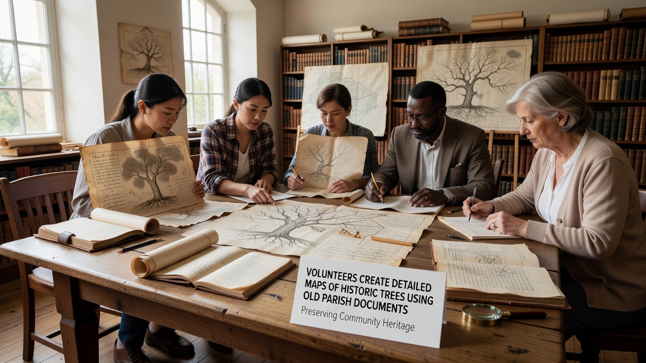
Volunteers across multiple counties have turned to centuries-old parish documents to build accurate maps of historic trees, drawing on baptismal records, land surveys, and church ledgers that note tree locations for boundary markers or communal events. These efforts combine archival research with field verification, allowing teams to pinpoint oaks, yews, and elms that have stood for generations while updating public databases with precise coordinates and species details.
Archival Sources Shape Modern Mapping Techniques
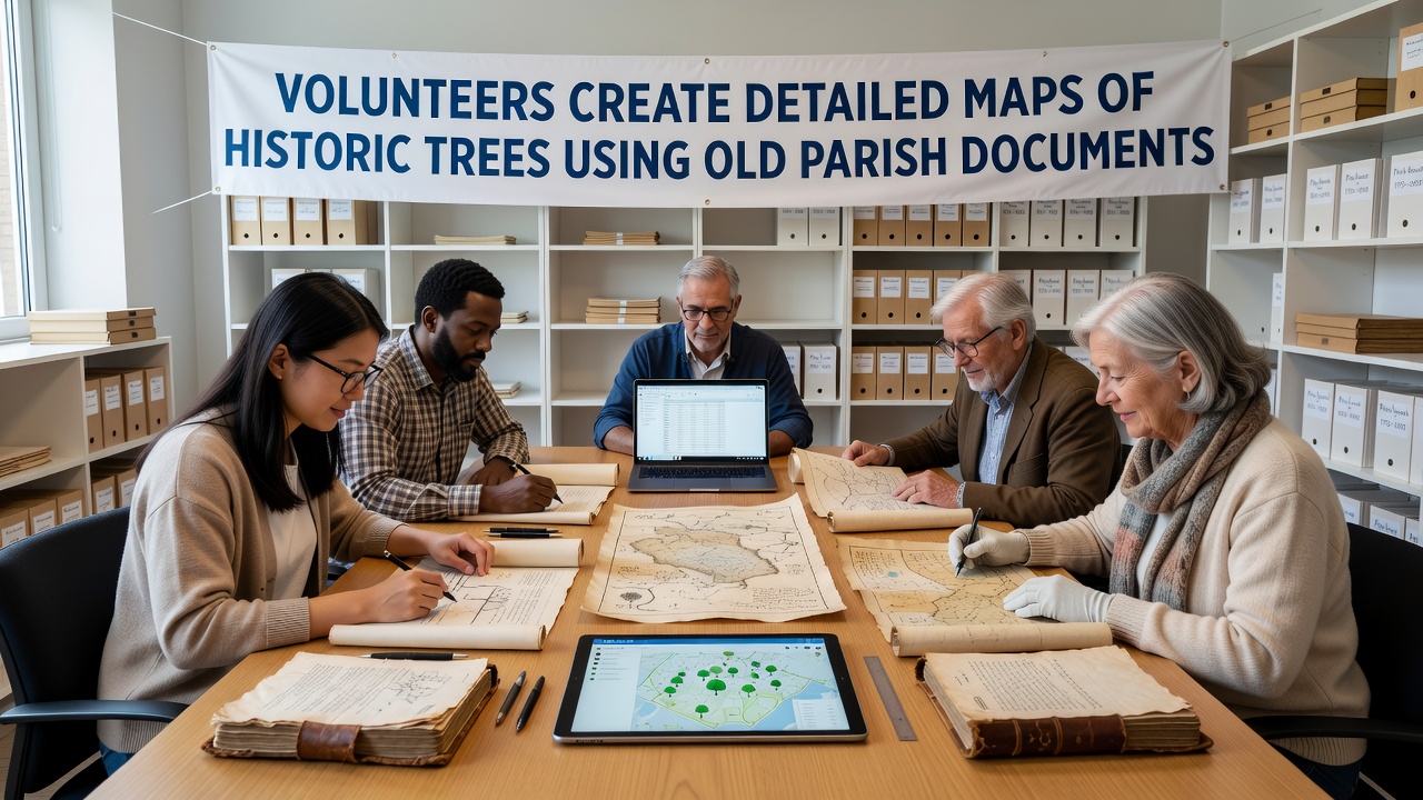
Parish documents from the 17th through 19th centuries often list trees as reference points in property descriptions or tithe maps, and volunteers scan these entries to cross-reference them against current Ordnance Survey data. Researchers at institutions like Library and Archives Canada have documented similar practices in settler records, where tree notations helped establish early land claims, and the same methodical approach now appears in UK projects that digitize faded ink entries for GIS integration. Teams divide tasks so one group transcribes names and dates while another visits sites to measure trunk diameters and confirm species matches, creating layered maps that show both historical presence and present condition.
Field Verification Connects Documents to Living Specimens
Once parish entries identify a candidate location, volunteers travel with handheld GPS units and measuring tapes to verify each tree, noting any discrepancies between written descriptions and actual positions caused by road expansions or natural shifts in waterways. This step prevents errors that might arise from outdated spellings or vague directional phrases in the originals, and it builds a dataset that includes health assessments such as canopy coverage and evidence of disease. Observers note that combining these checks with drone imagery has accelerated coverage in wooded areas where access proves difficult on foot alone.
Community Projects Expand Data Sharing Networks
Local history societies coordinate with national heritage bodies to upload verified maps into open-access platforms, and similar initiatives in Australia through the National Archives of Australia have shown how parish-style records from colonial periods can guide conservation of remnant woodlands. Data from these combined sources reveal patterns such as clusters of veteran trees near former common lands, information that planners now consult when reviewing development applications. Workshops scheduled for September 2026 will train additional volunteers in optical character recognition tools to speed transcription of handwritten ledgers, expanding the geographic reach of the mapping effort into previously unexamined parishes.
Challenges Include Document Fragility and Access Limits
Many parish volumes remain fragile, so volunteers work under supervised conditions at county record offices where handling protocols limit page turns and require gloves to prevent oil transfer. Digital scans help when originals sit behind access restrictions, yet incomplete collections mean some trees noted in one parish may lack confirming entries in neighboring documents, requiring cross-checks with estate maps held by private landowners. Those who have studied these records know that patience and careful note-taking reduce the chance of misidentifying a site that has changed dramatically since the 1800s.
Conclusion
Volunteer-driven mapping continues to link historical parish documents with contemporary tree inventories, producing datasets that support both conservation planning and public education. As projects scale up through 2026 and beyond, the integration of archival detail with field data offers a model that other regions can adapt using their own local record collections.